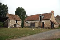
Écart de la Morinière,
Plan en 1813 : la Haute et la Basse Morinière.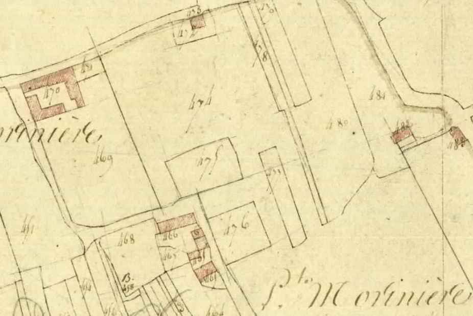
Immatriculation
IVR52_20057204003NUCA
Copyright
- (c) Conseil départemental de la Sarthe
Diffusion
communication libre, reproduction soumise à autorisation
Type
phototype numérique
Besoin d'informations sur cette illustration ?
Nous contacter
-
Cadastre 1813, I1, échelle 1/2500e. (Archives départementales de la Sarthe ; PC 014 / 018).